Neighborhood Profile: Kernohan

Kernohan is located south of 137th Avenue and east of Victoria Trail. Much of the residential land in Kernohan was developed during the 1970s, when Edmonton was experiencing an oil-driven economic boom.
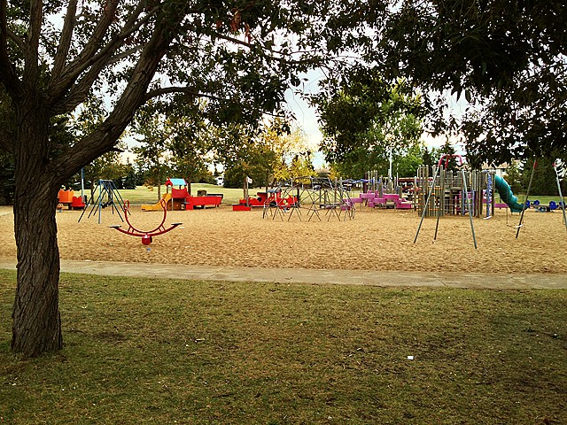
Multi-unit housing is an integral part of the neighbourhood and residences located along Victoria Trail. Approximately one-third of the dwelling units in the neighbourhood are in row housing structures. Kernohan Park and Ann Fitzgerald Catholic Elementary School are located at the centre of the neighbourhood. The North Saskatchewan River valley forms Kernohan’s eastern boundary, and the Kennedale Ravine forms the southern boundary. These provide local residents with access to natural park systems.

There were 60 homes sold between Jun 1, 2021 and May 31, 2022 in the Fulton Place, ranging from a low of $115,000 for an 1,100 sq ft 2 storey townhouse to a high of $442,500 for an upgraded 2,100 sq ft 4 level split single family home. The median selling price for homes in Kernohan during the same time period was $275,000 which represents a 1,200 sq ft bungalow.
Curious to know how the market’s doing in your neighbourhood? Email us at info@WeSellEdmonton.com and we’ll prepare a quick customized report for you! It’s our pleasure!
Sources: YEGisHome.ca, Realtor.ca and REALTORS® Association of Edmonton


