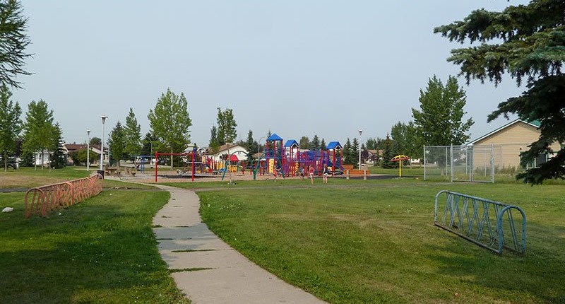
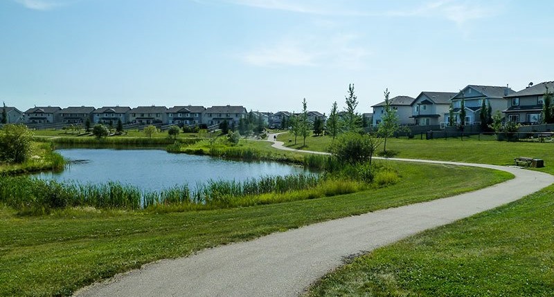
Price Range: From to

Compare Listings

Neighborhood Profile: Matt Berry

Neighborhood Profile: Matt Berry

“Matt Berry is a great family friendly neighborhood in NE Edmonton. This purely residential neighborhood is in a central hub of many services and amenities in the surrounding communities. The true gem nestled in the north section of this neighborhood is access to an amazing greenbelt trail that goes west to Belle Rive or east […]

Neighborhood Profile: Brintnell

Neighborhood Profile: Brintnell

“Brintnell is a fabulous community for families on the go! With easy access to the Henday and Manning getting around the city as well as to Fort Saskatchewan or CFB Edmonton is a breeze. Residents in the area love the large playground, recreation fields and newer spray park! There’s also a new library and many […]

Neighborhood Profile: The Orchards at Ellerslie

Neighborhood Profile: The Orchards at Ellerslie

Previously used as agricultural land, The Orchards at Ellerslie is located in the Ellerslie area of southeast Edmonton. It was established in 2007 when the City adopted The Orchards at Ellerslie Neighbourhood Structure Plan (NSP), although development did not begin until 2012. The neighbourhood is bounded on the north by 25th Avenue, the south by […]

Neighborhood Profile: Pleasantview

Neighborhood Profile: Pleasantview

Pleasantview has become one of south Edmonton’s most sought after neighbourhoods.  Originally owned by veteran, huge lots were the norm in this area.  Most of these have since been sub-divided into more traditional sized lots, but are still large enough to allow for further subdivision currently.  Because of the large lot size, many custom infill […]

Neighborhood Profile: Albany

Neighborhood Profile: Albany

Albany is located in The Palisades area of northwest Edmonton. In 2009, the neighbourhood was established through the adoption of the Albany Neighbourhood Structure Plan (NSP). Albany is bounded on the west and north by Anthony Henday Drive, on the east by 127th Street, and on the south by 167th Avenue. Residential buildings are located in […]

Neighborhood Profile: Callaghan

Neighborhood Profile: Callaghan

Callaghan is one of the 15 neighbourhoods that make up the Heritage Valley area in southwest Edmonton. The neighbourhood’s residential areas were fully built out by 2011. The neighbourhood is bounded on the north and west by James Mowatt Trail, the south by 30th Avenue, and the east by the Blackmud Creek Ravine. Calgary Trail, […]

Neighborhood Profile: Blue Quill

Neighborhood Profile: Blue Quill

Blue Quill is in Edmonton’s southwest, named after Cree Chief Blue Quill who traded in Edmonton in the late 1890s. Its north of 23rd Avenue, west of 111th Street, tucked in the bend of Whitemud Creek Ravine South. Bordering neighbourhoods of Blue Quill Estates, Skyrattler and Sweetgrass are considered part of the Blue Quill area […]

Neighborhood Profile: Westmount

Neighborhood Profile: Westmount

Westmount is an older neighbourhood located northwest of downtown Edmonton. Westmount is located east of Groat Road and west of the old CN rail line that used to run north from downtown. The northern portion of the neighbourhood stops ar 111 avenue and it goes all the way south to the river valley with a […]

Neighborhood Profile – Mayliewan

Neighborhood Profile – Mayliewan

Land use in Mayliewan is almost entirely residential and was planned to accommodate primarily single-family houses oriented around the local parks system. The neighbourhood was designed to ensure that most residents would have direct easy access to parks and/or one of the two stormwater management lakes. The intention was to build a community where children […]

Neighborhood Profile – Oliver

Neighborhood Profile – Oliver

Oliver is an stablished neighbourhood west of downtown Edmonton and is located south of the CN rail line and extends all the way to the river valley. From east to west its limits are 111 avenue and 124 street with a notch cut out using stony plain road and 121 street as boundaries. A very […]